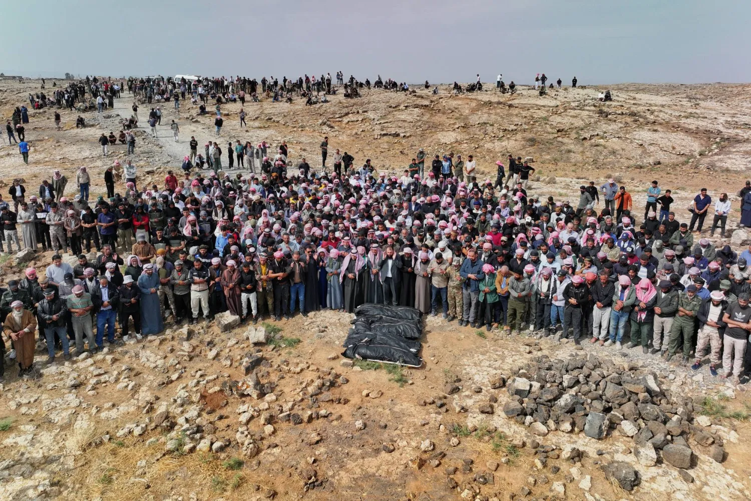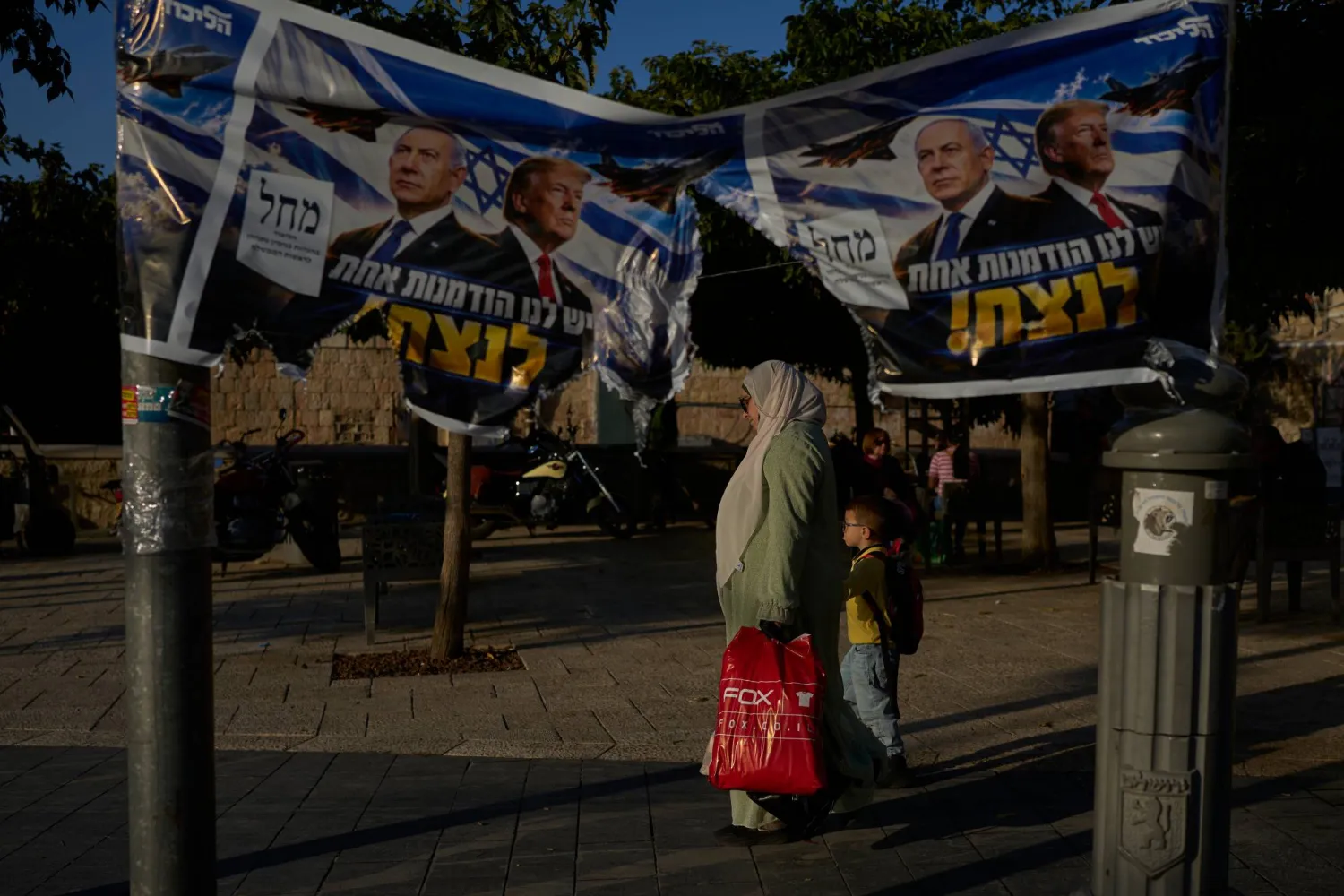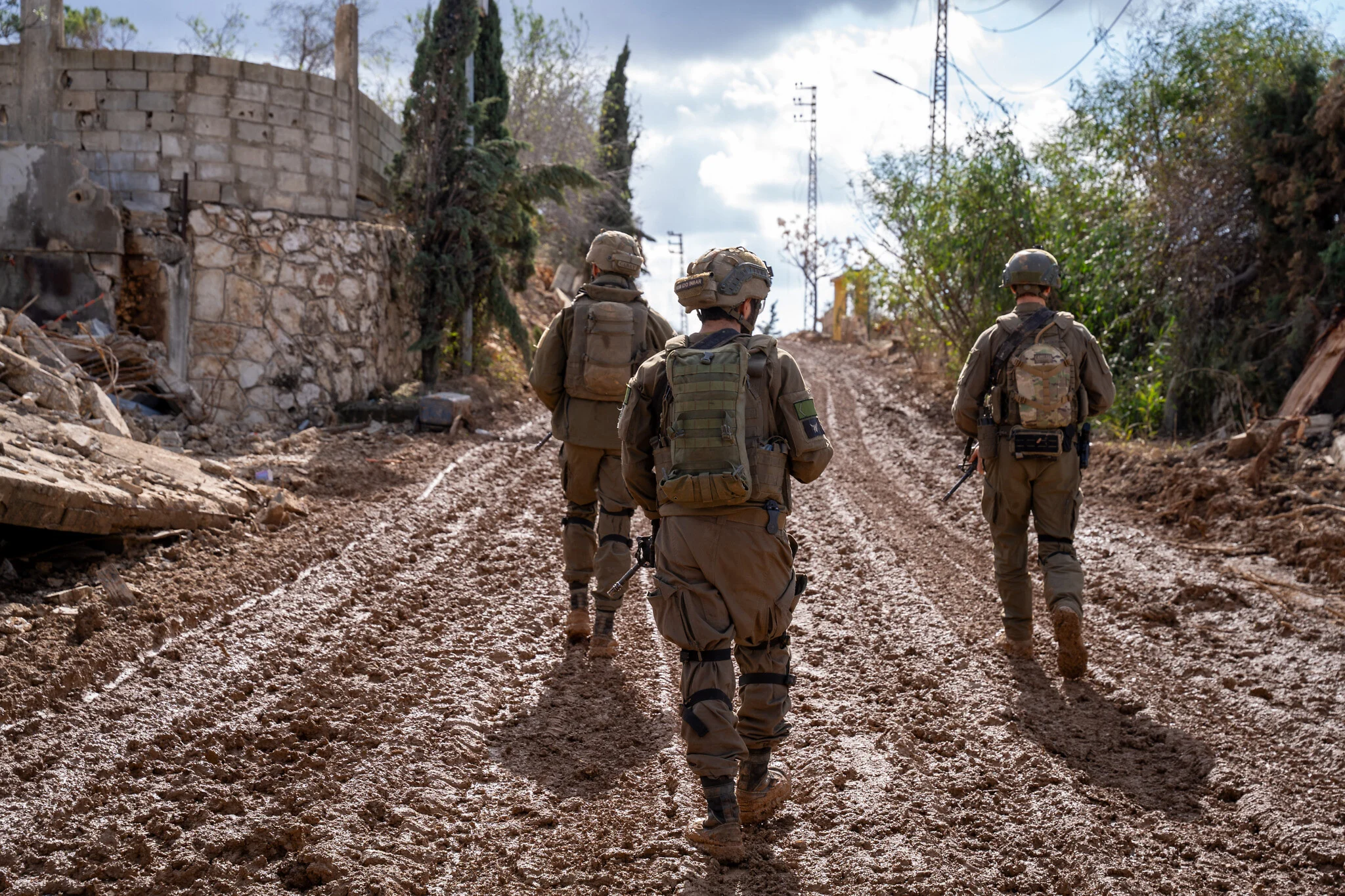
Since October 7, 2023, Israel’s military maps have not always matched the realities on the ground. Each ceasefire produced new maps, but satellite imagery and field evidence revealed broader control than declared. Al Jazeera’s open-source investigations tracked three arenas: Gaza, South Lebanon, and South Syria.
In Gaza, the so-called “yellow line” drawn after the October 2025 ceasefire was meant to mark Israel’s control over 200 square kilometers. Yet satellite images and concrete markers showed expansions beyond the official boundary. In November 2025, Israeli forces shifted markers westward, enlarging control by 300 meters and displacing families from Shuja’iyya and Tuffah. Satellite comparisons documented demolitions outside the declared zone, raising Israel’s effective control in northern Gaza to nearly 55% of the area.