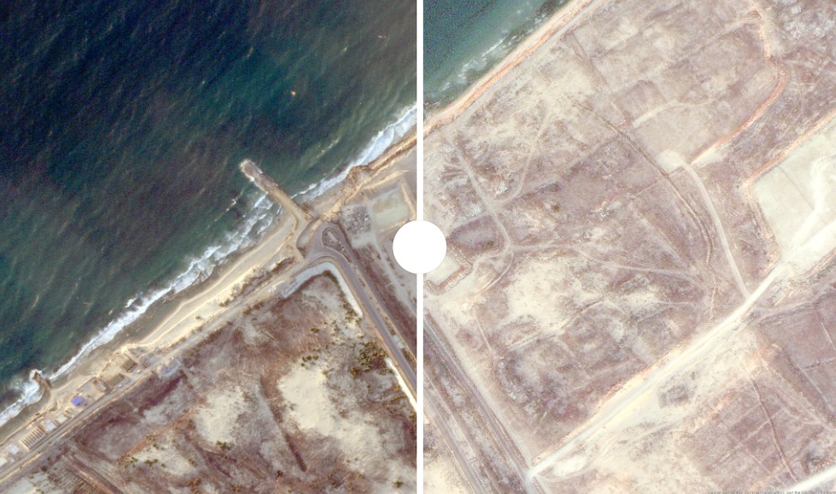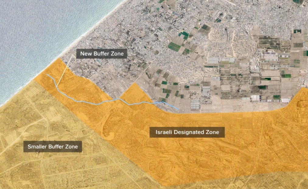
Recent satellite images analyzed by Al Jazeera’s open-source unit have revealed accelerated construction activity in Rafah, southern Gaza, including the establishment of an Israeli military site on the ruins of the Swedish Village near the coastline, close to the Egypt-Gaza border, alongside the construction of an earth barrier stretching horizontally across southern Gaza for more than 2.5 kilometers.
A chronological analysis of the images shows that work on the coastal site was first detected on June 2, while construction of the earth barrier began in early July and expanded significantly by mid-month.
On the Ruins of the Swedish Village
An image captured on July 15 shows that the Israeli military established a military site on the ruins of the “Swedish Village” located along the Rafah coastline.