Satellite Images Reveal Extent of Euphrates Flooding in Syria
Satellite data from March to May 2026 show expanding floodwaters along the Euphrates in Deir ez-Zor, forcing residents to use boats as rising levels impact villages, farmland, and urban infrastructure.
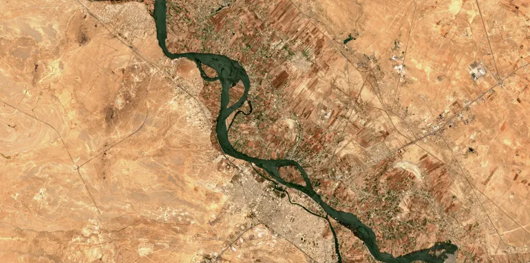
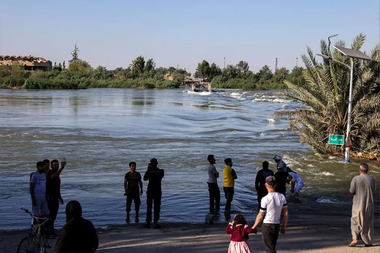
Satellite imagery captured between March 11 and May 30, 2026, revealed a steady expansion of floodwaters along the Euphrates River in Syria’s Deir ez-Zor province. Videos circulating online showed residents using boats to cross between riverbanks in affected areas.
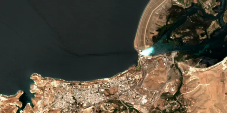
Analysis of Sentinel-2 images indicated continuous water level rises, peaking on May 30. Flooded zones extended across farmland and riverside communities, with visible impacts on local crossings and villages. Images from May 26 also showed water released from the Euphrates Dam in Raqqa after spillway gates were opened due to rising reservoir levels.
The floods affected infrastructure, including the earthen bridge in Mayadin, signaling broader strain on local services. Syrian platforms and state media shared footage of naval units ferrying residents between Mayadin and al-Hawayej, part of efforts to manage flood impacts.
In Deir ez-Zor city, parts of the Corniche street were submerged, with vehicles struggling to pass. State media published photos of inundated sections, underscoring the flood’s reach into urban areas beyond rural farmland.
Energy Minister Mohammad al-Bashir stated that conditions are improving gradually, noting closure of spillway gate No. 4 at the Euphrates Dam, reducing outflow to about 1,400 cubic meters per second. Authorities continue monitoring to restore water levels to normal.
The satellite evidence and field reports highlight the pressure rising waters have placed on residents and infrastructure in Deir ez-Zor, as officials work to mitigate damage and support affected communities.

No comments yet. Be the first to share your thoughts.