
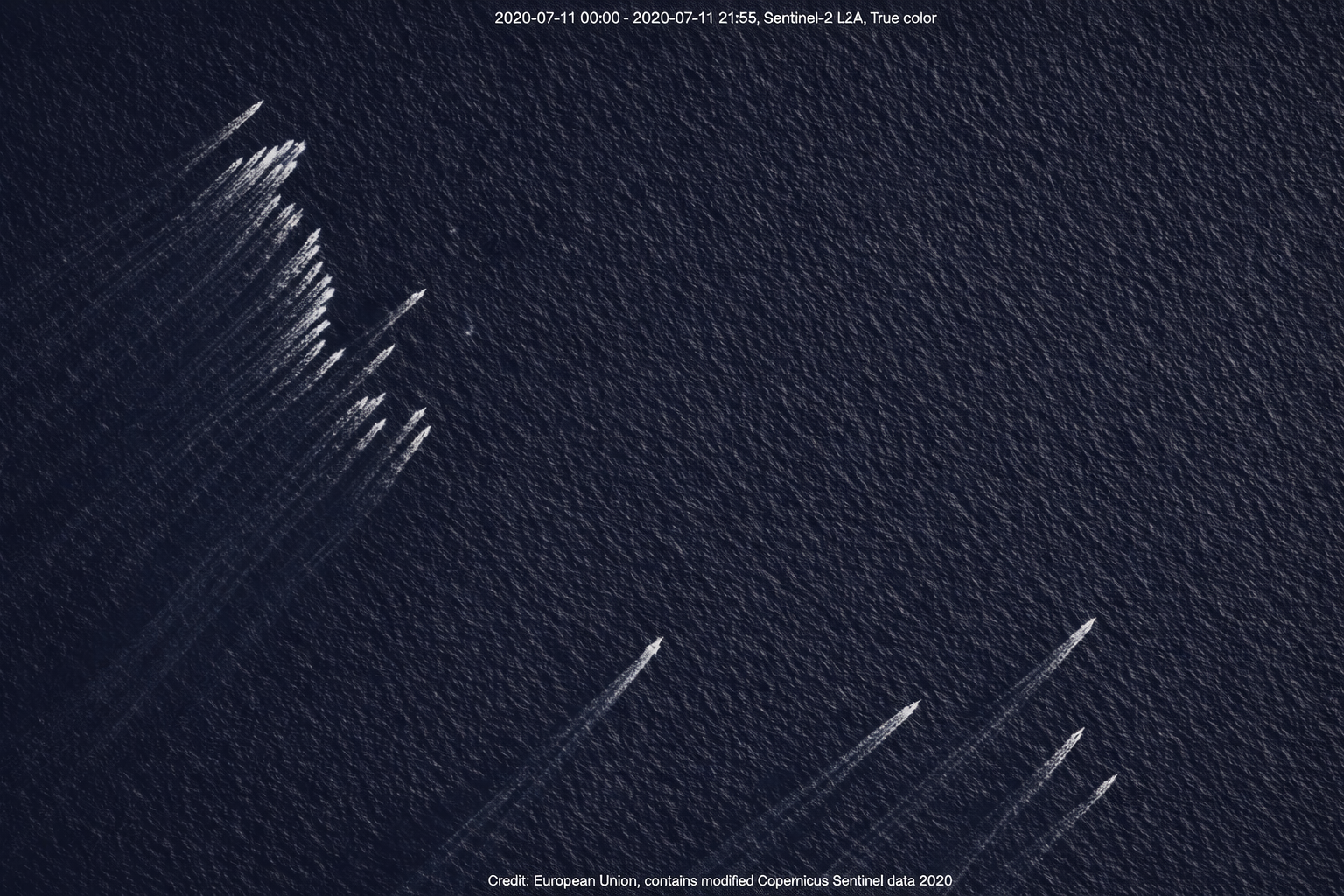
Satellite images analyzed by an open-source unit showed at least 32 boats, likely belonging to Iran’s Revolutionary Guard, positioned across three main points in the strait. These vessels were located about 35 kilometers from the Iranian coast, the Musandam Peninsula in Oman, and south of Larak Island. Their deployment appeared concentrated near the designated shipping lane, with some boats visibly heading back toward Iran’s shoreline.
Although ownership of the boats could not be independently verified, several indicators suggest they may be part of Iran’s patrol fleet, previously highlighted by state television. This fleet is often referred to as the “Mosquito Fleet,” a strategy built on swarms of fast boats designed to overwhelm and confuse conventional naval defenses rather than engage in traditional combat. These vessels operate from more than ten fortified bases along Iran’s coast and islands, including the strategic Farur Island. Among the notable models are Zolfaghar, Seraj, Ashura, Tufan, and Haidar 110, all configured for rapid, surprise maneuvers.
In addition to the naval buildup, satellite analysis revealed a widespread oil spill coinciding with attacks on at least five vessels. The source of the spill could not be traced, as targeted ships had switched off their tracking systems before passing through the strait. Reports indicated that the affected vessels included four energy tankers and one cargo ship, with several others halting their passage or disabling tracking devices while navigating through Omani waters.
Since the signing of a memorandum of understanding between the United States and Iran on June 17, at least five ships—oil and gas carriers among them—have been attacked near the Strait of Hormuz. The latest satellite data linked these incidents to both the strait and the Gulf of Oman, highlighting the growing risks for maritime traffic in the region.
No comments yet. Be the first to share your thoughts.